Choose Which Site You Want To See


Ordnance Survey Explorer 210 Newmarket & Havehill, Barrow, Clare & Kedington Map With Digital Version, Orange: The essential map for outdoor activities in Newmarket & Havehill, Barrow, Clare and Kedington. The OS Explorer Map is...

Ordnance Survey Explorer 210 Newmarket & Havehill, Barrow, Clare & Kedington Map With Digital Version, Orange: The essential map for outdoor activities in Newmarket & Havehill, Barrow, Clare and Kedington. The OS Explorer Map is...

Explorer 210 Newmarket & Havehill, Barrow, Clare & Kedington Map With Digital Version: The essential map for outdoor activities in Newmarket & Havehill, Barrow, Clare and Kedington. The OS Explorer Map...

Ordnance Survey Explorer 210 Newmarket & Havehill, Barrow, Clare & Kedington Map With Digital Version - Orange, Orange: The essential map for outdoor activities in Newmarket & Havehill, Barrow, Clare andKedington. The OS Explorer Map...
Ordnance Survey Explorer 210 Newmarket & Havehill, Barrow, Clare & Kedington Map With Digital Version - Orange, Orange: The essential map for outdoor activities in Newmarket & Havehill, Barrow, Clare andKedington. The OS Explorer Map...
Ordnance Survey Explorer 142 Shepton Mallet & Mendip Hills East Map With Digital Version, Orange: The essential map for outdoor activities in Shepton Mallet and Mendip Hills East. The OS Explorer Map is the Ordnance...
Ordnance Survey Explorer 141 Cheddar Gorge & Mendip Hills West Map With Digital Version, Orange: The essential map for outdoor activities in Cheddar Gorge and Mendip Hills West. The OS Explorer Map is the Ordnance...
Ordnance Survey Explorer 153 Weston-super-mare & Bleadon Hill Map With Digital Version, Orange: The essential map for outdoor activities in Weston-Super-Mare and Bleadon Hill. The OS Explorer Map is the Ordnance...
Ordnance Survey Explorer 187 Llandovery, Llanwrtyd Wells & Lyn Brianne Map With Digital Version, Orange: The essential map for outdoor activities in Llandovery, Llanwrtyd Wells and Lyn Brianne. The OS Explorer Map is the...
Ordnance Survey Explorer 185 Newcastle Emlyn, Llandysul & Cynwyl Elfed Map With Digital Version, Orange: The essential map for outdoor activities in Newcastle Emlyn, Llandysul and Cynwyl Elfed. The OS Explorer Map is the...
Ordnance Survey Explorer 323 Eskdale & Castle O\'er Forest Map With Digital Version, Orange: The essential map for outdoor activities in Eskdale and Castle O\'er Forest. The OS Explorer Map is the Ordnance...
Ordnance Survey Explorer 339 Kelso, Coldstream & Lower Tweed Valley Map With Digital Version, Orange: The essential map for outdoor activities in Kelso, Coldstream and Lower Tweed Valley. The OS Explorer Map is the...
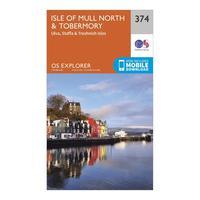
Ordnance Survey Explorer 374 Isle Of Mull North & Tobermory Map With Digital Version, Orange: The essential map for outdoor activities in Isle of Mull North and Tobermory. The OS Explorer Map is the Ordnance...
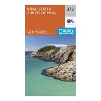
Ordnance Survey Explorer 373 Iona, Staffa & Ross Of Mull Map With Digital Version, Orange: The essential map for outdoor activities in Iona, Staffa and Ross of Mull. The OS Explorer Map is the Ordnance...
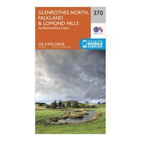
Ordnance Survey Explorer 370 Glenrothes North, Falkland & Lomond Hills Map With Digital Version, Orange: The essential map for outdoor activities in Glenrothes North, Falkland and Lomond Hills. The OS Explorer Map is the...
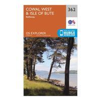
Ordnance Survey Explorer 362 Cowal West & Isle Of Bute Map With Digital Version, Orange: The essential map for outdoor activities in Cowal West and Isle of Bute. The OS Explorer Map is the Ordnance Survey\'s...
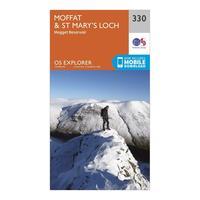
Ordnance Survey Explorer 330 Moffat & St Mary\'s Loch Map With Digital Version, Orange: The essential map for outdoor activities in Moffat and St Mary\'s Loch. The OS Explorer Map is the Ordnance Survey\'s...
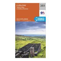
Ordnance Survey Explorer 203 Ludlow, Tenbury Wells & Cleobury Mortimer Map With Digital Version, Orange: The essential map for outdoor activities in Ludlow, Tenbury Wells and Cleobury Mortimer. The OS Explorer Map is the...
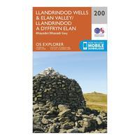
Ordnance Survey Explorer 200 Llandrindod Wells & Elan Valley & Rhayader Map With Digital Version, Orange: The essential map for outdoor activities in Llandrindod Wells and Elan Valley and Rhayader. The OS Explorer Map is the...
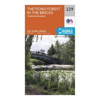
Ordnance Survey Explorer 229 Thetford Forest In The Brecks Map With Digital Version, Orange: The essential map for outdoor activities in Thetford Forest in the Brecks. The OS Explorer Map is the Ordnance...
