Open popup
x
Choose Which Site You Want To See
Search
Home
A
B
C
D
E
F
G
H
I
J
K
L
M
N
O
P
Q
R
S
T
U
V
W
X
Y
Z
0-9
Browse by Store
Results for explorer 166 rhondda merthyr tydfil map with digital version
1
2
3
4
5
Next
List view
Grid view
Compact
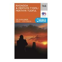
Ordnance Survey Explorer 166 Rhondda & Merthyr Tydfil Map With Digital Version, Orange
The essential map for outdoor activities in Rhondda and Merthyr Tydfil. The OS Explorer Map is the Ordnance Survey\'s most detailed folding map and is recommended for anyone enjoying outdoor...
Click For Info
Ordnance Survey Explorer 166 Rhondda & Merthyr Tydfil Map With Digital Version, Orange
The essential map for outdoor activities in Rhondda and Merthyr Tydfil. The OS Explorer Map is the Ordnance Survey\'s most detailed folding map and is recommended for anyone enjoying outdoor...
Click For Info
Explorer 166 Rhondda & Merthyr Tydfil Map With Digital Version
The essential map for outdoor activities in Rhondda and Merthyr Tydfil. The OS Explorer Map is the Ordnance Surveyâs most detailed folding map and is recommended for anyone enjoying outdoor...
Click For Info
Ordnance Survey Explorer Active 166 Rhondda & Merthyr Tydfil Map With Digital Version, Orange
The essential map for outdoor activities in all weathers in Rhondda and Merthyr Tydfil. The OS Explorer Active Map is the Ordnance Survey\'s most detailed folding map and is recommended for anyone...
Click For Info
Ordnance Survey Explorer Active 166 Rhondda & Merthyr Tydfil Map With Digital Version, Orange
The essential map for outdoor activities in all weathers in Rhondda and Merthyr Tydfil. The OS Explorer Active Map is the Ordnance Survey\'s most detailed folding map and is recommended for anyone...
Click For Info
Explorer Active 166 Rhondda & Merthyr Tydfil Map With Digital Version
The essential map for outdoor activities in all weathers in Rhondda and Merthyr Tydfil. The OS Explorer Active Map is the Ordnance Surveyâs most detailed folding map and is recommended for...
Click For Info
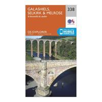
Ordnance Survey Explorer 338 Galashiels, Selkirk & Melrose Map With Digital Version, Orange
The essential map for outdoor activities in Galashiels, Selkirk and Melrose. The OS Explorer Map is the Ordnance Survey\'s most detailed folding map and is recommended for anyone enjoying outdoor...
Click For Info
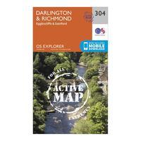
Ordnance Survey Explorer Active 304 Darlington & Richmond Map With Digital Version, Orange
The essential map for outdoor activities in all weathers in Darlington and Richmond. The OS Explorer Active Map is the Ordnance Survey\'s most detailed folding map and is recommended for anyone...
Click For Info
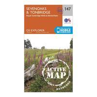
Ordnance Survey Explorer Active 147 Sevenoaks & Tonbridge Map With Digital Version, Orange
The essential map for outdoor activities in all weathers in Sevenoaks and Tonbridge. The OS Explorer Active Map is the Ordnance Survey\'s most detailed folding map and is recommended for anyone...
Click For Info
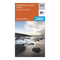
Ordnance Survey Explorer 250 Norfolk Coast West Map With Digital Version, Orange
The essential map for outdoor activities in Norfolk Coast West. The OS Explorer Map is the Ordnance Survey\'s most detailed folding map and is recommended for anyone enjoying outdoor activities...
Click For Info
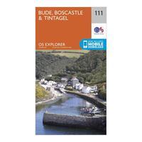
Ordnance Survey Explorer 111 Bude, Boscastle & Tintagel Map With Digital Version, Orange
The essential map for outdoor activities in Bude, Boscastle and Tintagel. The OS Explorer Map is the Ordnance Survey\'s most detailed folding map and is recommended for anyone enjoying outdoor...
Click For Info
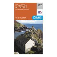
Ordnance Survey Explorer 107 St Austell & Liskeard Map With Digital Version, Orange
The essential map for outdoor activities in St Austell and Liskeard. The OS Explorer Map is the Ordnance Survey\'s most detailed folding map and is recommended for anyone enjoying outdoor activities...
Click For Info
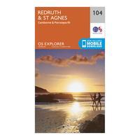
Ordnance Survey Explorer 104 Redruth & St Agnes Map With Digital Version, Orange
The essential map for outdoor activities in Redruth and St Agnes. The OS Explorer Map is the Ordnance Survey\'s most detailed folding map and is recommended for anyone enjoying outdoor activities...
Click For Info
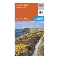
Ordnance Survey Explorer 102 Land\'s End Map With Digital Version, Orange
The essential map for outdoor activities in Land\'s End. The OS Explorer Map is the Ordnance Survey\'s most detailed folding map and is recommended for anyone enjoying outdoor activities including...
Click For Info
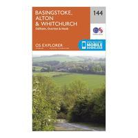
Ordnance Survey Explorer 144 Basingstoke, Alton & Whitchurch Map With Digital Version, Orange
The essential map for outdoor activities in Basingstoke, Alton and Whitchurch. The OS Explorer Map is the Ordnance Survey\'s most detailed folding map and is recommended for anyone enjoying outdoor...
Click For Info
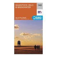
Ordnance Survey Explorer 140 Quantock Hills & Bridgwater Map With Digital Version, Orange
The essential map for outdoor activities in Quantock Hills and Bridgwater. The OS Explorer Map is the Ordnance Survey\'s most detailed folding map and is recommended for anyone enjoying outdoor...
Click For Info
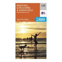
Ordnance Survey Explorer 139 Bideford, Ilfracombe & Barnstaple Map With Digital Version, Orange
The essential map for outdoor activities in Bideford, Ilfracombe and Barnstaple. The OS Explorer Map is the Ordnance Survey\'s most detailed folding map and is recommended for anyone enjoying outdoor...
Click For Info
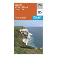
Ordnance Survey Explorer 138 Dover, Folkestone & Hythe Map With Digital Version, Orange
The essential map for outdoor activities in Dover, Folkestone and Hythe. The OS Explorer Map is the Ordnance Survey\'s most detailed folding map and is recommended for anyone enjoying outdoor...
Click For Info
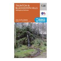
Ordnance Survey Explorer 128 Taunton & Blackdown Hills Map With Digital Version, Orange
The essential map for outdoor activities in Taunton and Blackdown Hills. The OS Explorer Map is the Ordnance Survey\'s most detailed folding map and is recommended for anyone enjoying outdoor...
Click For Info
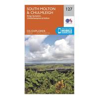
Ordnance Survey Explorer 127 South Molton & Chulmleigh Map With Digital Version, Orange
The essential map for outdoor activities in South Molton and Chulmleigh. The OS Explorer Map is the Ordnance Survey\'s most detailed folding map and is recommended for anyone enjoying outdoor...
Click For Info
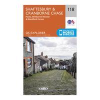
Ordnance Survey Explorer 118 Shaftesbury & Cranborne Chase Map With Digital Version, Orange
The essential map for outdoor activities in Shaftesbury and Cranborne Chase. The OS Explorer Map is the Ordnance Survey\'s most detailed folding map and is recommended for anyone enjoying outdoor...
Click For Info
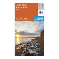
Ordnance Survey Explorer 116 Lyme Regis & Bridport Map With Digital Version, Orange
The essential map for outdoor activities in Lyme Regis and Bridport. The OS Explorer Map is the Ordnance Survey\'s most detailed folding map and is recommended for anyone enjoying outdoor activities...
Click For Info
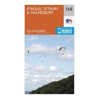
Ordnance Survey Explorer 168 Stroud, Tetbury & Malmesbury Map With Digital Version, Orange
The essential map for outdoor activities in Stroud, Tetbury and Malmesbury. The OS Explorer Map is the Ordnance Survey\'s most detailed folding map and is recommended for anyone enjoying outdoor...
Click For Info
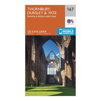
Ordnance Survey Explorer 167 Thornbury, Dursley & Yate Map With Digital Version, Orange
The essential map for outdoor activities in Thornbury, Dursley and Yate. The OS Explorer Map is the Ordnance Survey\'s most detailed folding map and is recommended for anyone enjoying outdoor...
Click For Info
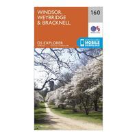
Ordnance Survey Explorer 160 Windsor, Weybridge & Bracknell Map With Digital Version, Orange
The essential map for outdoor activities in Windsor, Weybridge and Bracknell. The OS Explorer Map is the Ordnance Survey\'s most detailed folding map and is recommended for anyone enjoying outdoor...
Click For Info
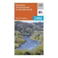
Ordnance Survey Explorer 159 Reading, Wokingham & Pangbourne Map With Digital Version, Orange
The essential map for outdoor activities in Reading, Wokingham and Pangbourne. The OS Explorer Map is the Ordnance Survey\'s most detailed folding map and is recommended for anyone enjoying outdoor...
Click For Info
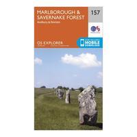
Ordnance Survey Explorer 157 Marlborough & Savernake Forest Map With Digital Version, Orange
The essential map for outdoor activities in Marlborough and Savernake Forest. The OS Explorer Map is the Ordnance Survey\'s most detailed folding map and is recommended for anyone enjoying outdoor...
Click For Info
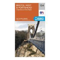
Ordnance Survey Explorer 154 Bristol West & Portishead Map With Digital Version, Orange
The essential map for outdoor activities in Bristol West and Portishead. The OS Explorer Map is the Ordnance Survey\'s most detailed folding map and is recommended for anyone enjoying outdoor...
Click For Info
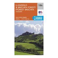
Ordnance Survey Explorer 186 Llandeilo & Brechfa Forest Map With Digital Version, Orange
The essential map for outdoor activities in Llandeilo and Brechfa Forest. The OS Explorer Map is the Ordnance Survey\'s most detailed folding map and is recommended for anyone enjoying outdoor...
Click For Info
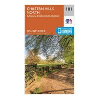
Ordnance Survey Explorer 181 Chiltern Hills North Map With Digital Version, Orange
The essential map for outdoor activities in Chiltern Hills North. The OS Explorer Map is the Ordnance Survey\'s most detailed folding map and is recommended for anyone enjoying outdoor activities...
Click For Info
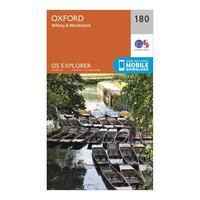
Ordnance Survey Explorer 180 Oxford, Witney & Woodstock Map With Digital Version, Orange
The essential map for outdoor activities in Oxford, Witney and Woodstock. The OS Explorer Map is the Ordnance Survey\'s most detailed folding map and is recommended for anyone enjoying outdoor...
Click For Info
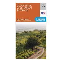
Ordnance Survey Explorer 179 Gloucester, Cheltenham & Stroud Map With Digital Version, Orange
The essential map for outdoor activities in Gloucester, Cheltenham and Stroud. The OS Explorer Map is the Ordnance Survey\'s most detailed folding map and is recommended for anyone enjoying outdoor...
Click For Info
Ordnance Survey Explorer 195 Braintree & Saffron Walden Map With Digital Version, Orange
The essential map for outdoor activities in Braintree and Saffron Walden. The OS Explorer Map is the Ordnance Survey\'s most detailed folding map and is recommended for anyone enjoying outdoor...
Click For Info
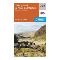
Ordnance Survey Explorer 328 Sanquhar & New Cumnock Map With Digital Version, Orange
The essential map for outdoor activities in Sanquhar and New Cumnock. The OS Explorer Map is the Ordnance Survey\'s most detailed folding map and is recommended for anyone enjoying outdoor activities...
Click For Info
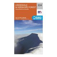
Ordnance Survey Explorer 324 Liddesdale & Kershope Forest Map With Digital Version, Orange
The essential map for outdoor activities in Liddesdale and Kershope Forest. The OS Explorer Map is the Ordnance Survey\'s most detailed folding map and is recommended for anyone enjoying outdoor...
Click For Info
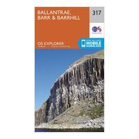
Ordnance Survey Explorer 317 Ballantrae, Barr & Barrhill Map With Digital Version, Orange
The essential map for outdoor activities in Ballantrae, Barr and Barrhill. The OS Explorer Map is the Ordnance Survey\'s most detailed folding map and is recommended for anyone enjoying outdoor...
Click For Info
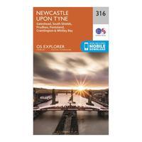
Ordnance Survey Explorer 316 Newcastle upon Tyne Map With Digital Version, Orange
The essential map for outdoor activities in Newcastle upon Tyne. The OS Explorer Map is the Ordnance Survey\'s most detailed folding map and is recommended for anyone enjoying outdoor activities...
Click For Info
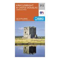
Ordnance Survey Explorer 312 Kirkcudbright & Castle Douglas Map With Digital Version, Orange
The essential map for outdoor activities in Kirkcudbright and Castle Douglas. The OS Explorer Map is the Ordnance Survey\'s most detailed folding map and is recommended for anyone enjoying outdoor...
Click For Info
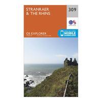
Ordnance Survey Explorer 309 Stranrear & The Rhins Map With Digital Version, Orange
The essential map for outdoor activities in Stranrear and The Rhins. The OS Explorer Map is the Ordnance Survey\'s most detailed folding map and is recommended for anyone enjoying outdoor activities...
Click For Info
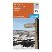
Ordnance Survey Explorer 307 Consett & Derwent Reservoir Map With Digital Version, Orange
The essential map for outdoor activities in Consett and Derwent Reservoir. The OS Explorer Map is the Ordnance Survey\'s most detailed folding map and is recommended for anyone enjoying outdoor...
Click For Info
1
2
3
4
5
Next
Home
A
B
C
D
E
F
G
H
I
J
K
L
M
N
O
P
Q
R
S
T
U
V
W
X
Y
Z
0-9
Browse by Store
Search