Choose Which Site You Want To See


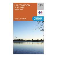
Ordnance Survey Explorer 225 Huntingdon, St Ives & Grafham Water Map With Digital Version, Orange: The essential map for outdoor activities in Huntingdon, St Ives and Grafham Water. The OS Explorer Map is the Ordnance...
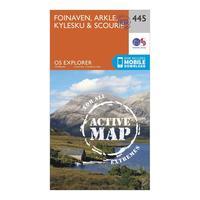
Ordnance Survey Explorer Active 445 Foinaven, Arkle, Kylesku & Scourie Map With Digital Version, Orange: The essential map for outdoor activities in all weathers in Foinaven, Arkle, Kylesku and Scourie. The OS Explorer...
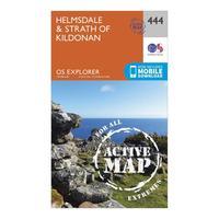
Ordnance Survey Explorer Active 444 Helmsdale & Strath Of Kildonan Map With Digital Version, Orange: The essential map for outdoor activities in all weathers in Helmsdale and Strath of Kildonan. The OS Explorer Active...
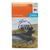
Ordnance Survey Explorer Active 443 Ben Klibreck & Ben Armine Map With Digital Version, Orange: The essential map for outdoor activities in all weathers in Ben Klibreck and Ben Armine. The OS Explorer Active Map is...
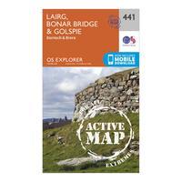
Ordnance Survey Explorer Active 441 Lairg, Bonar Bridge & Golspie Map With Digital Version, Orange: The essential map for outdoor activities in all weathers in Lairg, Bonar Bridge and Golspie. The OS Explorer Active Map...
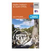
Ordnance Survey Explorer Active 440 Glen Cassley & Glen Oykel Map With Digital Version, Orange: The essential map for outdoor activities in all weathers in Glen Cassley and Glen Oykel. The OS Explorer Active Map is...
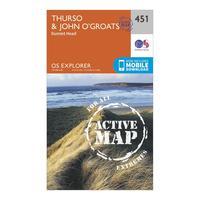
Ordnance Survey Explorer Active 451 Thurso & John O\'grates Map With Digital Version, Orange: The essential map for outdoor activities in all weathers in Thurso and John o\'Grates. The OS Explorer Active Map is...
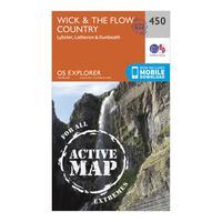
Ordnance Survey Explorer Active 450 Wick & The Flow Country Map With Digital Version, Orange: The essential map for outdoor activities in all weathers in Wick and The Flow Country. The OS Explorer Active Map is...
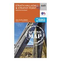
Ordnance Survey Explorer Active 449 Strath Halladale & Strathy Point Map With Digital Version, Orange: The essential map for outdoor activities in all weathers in Strath Halladale and Strathy Point. The OS Explorer Active...
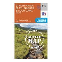
Ordnance Survey Explorer Active 448 Strath Naver & Loch Loyal Map With Digital Version, Orange: The essential map for outdoor activities in all weathers in Strath Naver and Loch Loyal. The OS Explorer Active Map is...
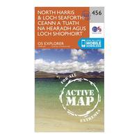
Ordnance Survey Explorer Active 284 North Harris & Loch Seaforth Map With Digital Version, Orange: The essential map for outdoor activities in all weathers in North Harris and Loch Seaforth. The OS Explorer Active Map...
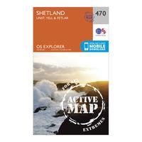
Ordnance Survey Explorer Active 470 Shetland - Unst, Yell & Fetlar Map With Digital Version, Orange: The essential map for outdoor activities in all weathers in Shetland - Unst, Yell and Fetlar. The OS Explorer Active...
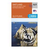
Ordnance Survey Explorer Active 469 Shetland - Mainland North West Map With Digital Version, Orange: The essential map for outdoor activities in all weathers in Shetland - Mainland North West. The OS Explorer Active Map...
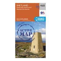
Ordnance Survey Explorer Active 468 Shetland - Mainland North East Map With Digital Version, Orange: The essential map for outdoor activities in all weathers in Shetland - Mainland North East. The OS Explorer Active Map...
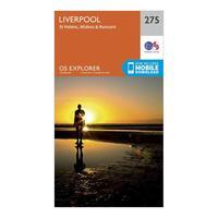
Ordnance Survey Explorer 275 Liverpool, St Helens, Widnes & Runcorn Map With Digital Version, Orange: The essential map for outdoor activities in Liverpool, St Helens, Widnes and Runcorn. The OS Explorer Map is the...
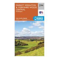
Ordnance Survey Explorer 294 Market Weighton & Yorkshire Wolds Central Map With Digital Version, Orange: The essential map for outdoor activities in Market Weighton and Yorkshire Wolds Central. The OS Explorer Map is the...
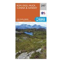
Ordnance Survey Explorer 397 Rum, Eigg, Muck, Canna & Sanday Map With Digital Version, Orange: The essential map for outdoor activities in Rum, Eigg, Muck, Canna and Sanday. The OS Explorer Map is the Ordnance...
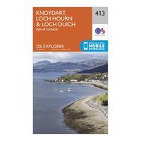
Ordnance Survey Explorer 413 Knoydart, Loch Hourn & Loch Duich Map With Digital Version, Orange: The essential map for outdoor activities in Knoydart, Loch Hourn and Loch Duich. The OS Explorer Map is the Ordnance...
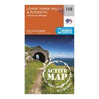
Ordnance Survey Explorer Active 108 Lower Tamar Valley & Plymouth Map With Digital Version, Orange: The essential map for outdoor activities in all weathers in Lower Tamar Valley and Plymouth. The OS Explorer Active Map...
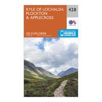
Ordnance Survey Explorer 428 Kyle Of Lochalsh, Plockton & Applecross Map With Digital Version, Orange: The essential map for outdoor activities in Kyle of Lochalsh, Plockton and Applecross. The OS Explorer Map is the...
